
Contact for the resource
The Australian Government's Reef Trust
3 record(s)
Type of resources
Topics
Keywords
Contact for the resource
Provided by
Formats
Update frequencies
Status
draft
-
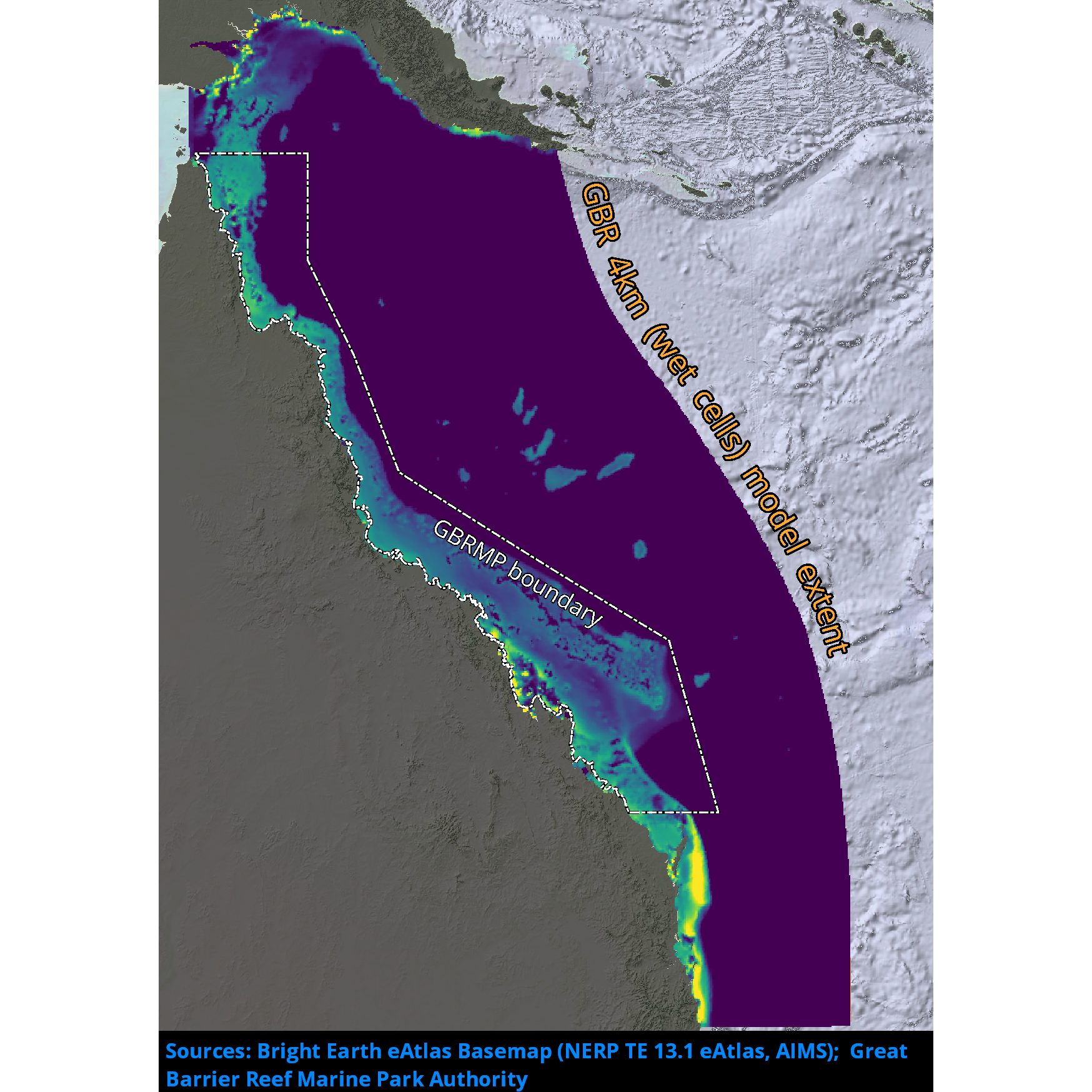
Results from version 4.0 of the 4km-resolution regional-scale hydrodynamic model of the Great Barrier Reef (GBR4). This model is forced with: 1. Surface Atmospheric Data: Bureau of Meteorology Atmospheric high-resolution Regional Reanalysis for Australia, using Data Assimilation of Quality Control observations (BARRA); 2. Ocean Boundaries: CSIRO Bluelink Reanalysis using Data Assimilation of Quality Control observations (BRAN2020) model results; 3. Tide: global TPXO tide model; 4. River boundaries: measured stream flow and temperature data for 64 rivers from a combination of the Bureau of Meteorology Grid 2 Grid catchment model (G2Gv3) and the QLD DES Source catchment model. This model configuration and associated results dataset may be referred to as "GBR4_H4p0_ABARRAr2_OBRAN2020_FG2Gv3_Dhnd" according to the eReefs simulation naming protocol. The model ran in hindcast mode and is complete. It succeeds the GBR4_H2p0 model as the best available eReefs hydrodynamic model results for its timespan.
-
Passive river tracers results for 35 rivers of significance to the Reef 2050 Water Quality Improvement Plan, derived from version 4.0 of the eReefs 4km-resolution regional-scale hydrodynamic model of the Great Barrier Reef (GBR4). This model is forced with: 1. Surface Atmospheric Data: Bureau of Meteorology Atmospheric high-resolution Regional Reanalysis for Australia, using Data Assimilation of Quality Control observations (BARRA); 2. Ocean Boundaries: CSIRO Bluelink Reanalysis using Data Assimilation of Quality Control observations (BRAN2020) model results; 3. Tide: global TPXO tide model; 4. River boundaries: measured stream flow and temperature data for 64 rivers from a combination of the Bureau of Meteorology Grid 2 Grid catchment model (G2Gv3) and the QLD DES Source catchment model. This dataset contains passive tracer results for 35 significant rivers which contribute to calculations for the Reef 2050 Water Quality Improvement Plan Reef Report Cards. This model configuration and associated results dataset may be referred to as "GBR4_H4p0_ABARRAr2_OBRAN2020_FG2Gv3_Dhnd_Rivers" according to the eReefs simulation naming protocol. The model ran in hindcast mode and is complete. It succeeds the GBR4_H2p0_Rivers model as the best available eReefs river tracer model results for its timespan.
-
Results from version 4.2 of the 4km-resolution biogeochemistry and sediments model of the Great Barrier Reef (GBR4), forced by version 4.0 of the 4km-resolution hydrodynamic model and by a baseline catchment scenario which is derived from P2R SOURCE Catchments with 2022 catchment condition from December 1 2010 to October 30 2022. This model configuration and associated results dataset may be referred to as "gbr4_H4p0_ABARRAr2_OBRAN2020_FG2Gv3_B4p2_Cq5b_Dhnd" according to the eReefs biogeochemical simulation naming protocol.