Keyword
Earth Science | Terrestrial Hydrosphere | Water Quality/Water Chemistry | Organic Matter
2 record(s)
Type of resources
Topics
Keywords
Contact for the resource
Provided by
Formats
Update frequencies
Status
draft
-
ESRI grids showing ocean chlorophyll from global observations of ocean colour data from the moderate resolution imaging spectroradiometer (MODIS). These grids have been produced by CSIRO for the National Oceans Office, as part of an ongoing commitment to natural resource planning and management through the 'National Marine Bioregionalisation' project. Chlorophyll accuracy is about ± 20%.
-

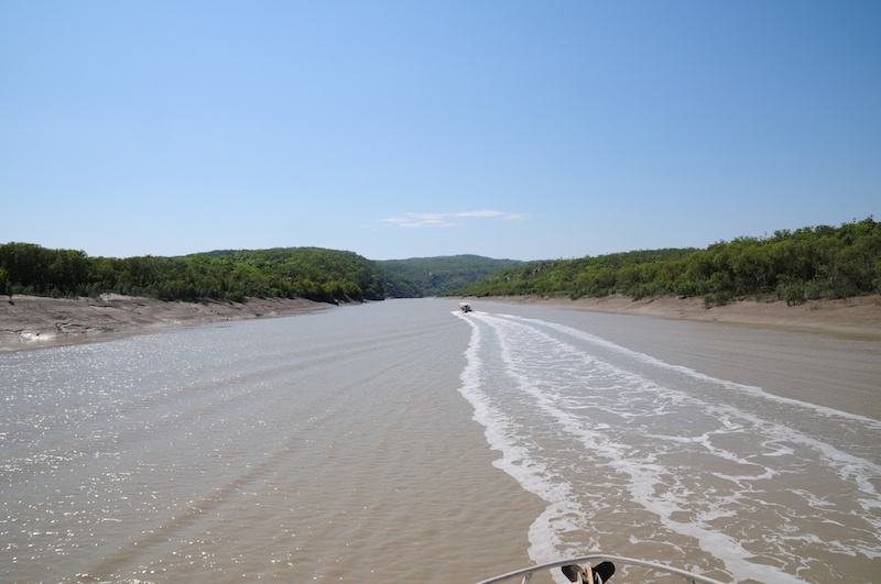
Terrestrial landscapes and coastal marine environments are linked by the rivers that flow between them. This is particularly true in the Kimberley, where each year large amounts of freshwater enter coastal waters. This project aimed to understand how dissolved and particulate material from freshwater systems in the Kimberley are transported by the tides and currents into the coastal marine environment and whether these exports from land play a role in coastal productivity. The project linked closely with WAMSI 2 KMRP projects 2.2.1 and 2.2.2 to better understand how freshwater discharge influences marine food web structure and sustains the productivity of Kimberley inshore ecosystems. Oceanographic and biogeochemical data was collected over two field campaigns (October/November 2013 and April/May 2014) from the Walcott Inlet, Collier Bay area (16° 22.624’S 124° 26.235’E to 16° 24.487’S 124° 54.035’E) and models integrated with those for Collier Bay (KMRP Project 2.2.2). The hydrology component focussed on catchments flowing into Walcott Inlet and Collier Bay, but climate projections and stream flow data analysed for whole of Kimberley. Chemical data to apportion sources of organic matter was also collected. This data was used to support development of the biogeochemical model. No primary data was collected in the hydrology component, but major data sets were collated, including data from 88 streamflow gauging stations managed by the Department of Water. A coupled physical-biogeochemical model and a catchment carbon export model was developed to understand the link between exported material and coastal productivity and has been an important component of the research project as it has allowed estimates of freshwater flow under current and future climate scenarios and an estimate of export of nutrients (carbon and nitrogen) and the forms in which they exist. Historical data used from 1961 to 2012 was used for calibration of the model, and future simulations were run for the period 2013 – 2064. This metadata record only relates to data either collected or generated by CSIRO. For data held by other project partners, please refer to the ‘supplementary information’ section.
