Keyword
Earth Science | Biosphere | Vegetation | Carbon
2 record(s)
Type of resources
Topics
Keywords
Contact for the resource
Provided by
Formats
Update frequencies
Status
draft
-

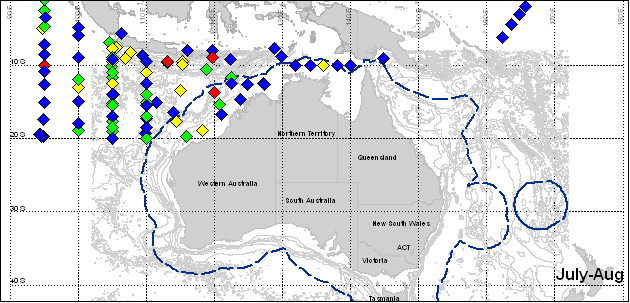
Mapset showing primary productivity in northern Australian waters. Data collected from oceanographic surveys conducted between 1959 and 1964 onboard the vessels "Gascoyne" and "Diamantina". Primary Production integrated to 100m, grams Carbon per spare metre per day. This map has been produced by CSIRO for the National Oceans Office, as part of an ongoing commitment to natural resource planning and management through the 'National Marine Bioregionalisation' project.
-
Data were collected on stable isotope ratios and decomposition of mangrove and seagrass leaves set 'in situ' among the mangrove forest and seagrass beds, respectively, in the Weipa region in 1993/94. The leaf material were set in porous bags intertidally and subtidally. Two experiments, one beginning in June 1993 (dry season), and one beginning in December 1993 (wet season) were conducted. Successive bags were harvested after about 4-8 days, then they were harvested every two months for 10 months and four months (respectively). Data were also collected on litterfall from mangrove trees in three mangrove communities; Rhizophora, Avicennia and Ceriops. Litter traps were set at two sites in each community in March 1993 and harvested every two months for 10 months. These data may only have been stored in EXCEL files and may be lost, though a paper was published on the results of the experiments (see Conacher et al, 1996).
